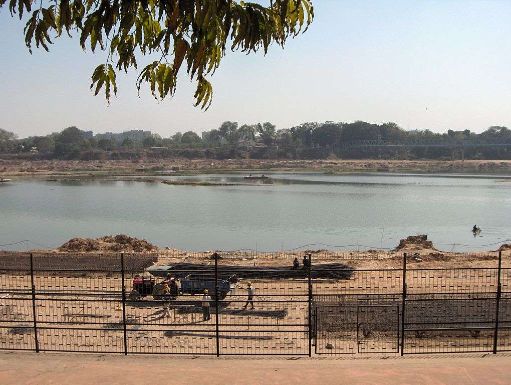
River length: 371 km
Basin area: 21,674 sq km
Population in basin: 13.3 million (2001)
States in basin: Rajasthan, Gujarat

Major cities using water
Ahmedabad (pop: 5.6 million), Gandhinagar (pop: 208,000)
River Depletion
- Dry season drought risk: High
- Monsoon flood risk: High
- Seasonal variability of water levels: Extremely High
Economic & Environmental Significance
- Over 16,000 sq km of agricultural land in the region depends on the Sabarmati for irrigation. The river supplies over 1800 million cubic meters of water every year for irrigation.
- The river also supplies about 70 million liters a day to Ahmedabad.
Recent Disasters
Sabarmati is one of the most exploited rivers in terms of percentage of water used. It is also one of the ten most water-stressed river basins in the world.
The river is basically dry upstream of Ahmedabad. Water from the Narmada is brought through a canal and fed into the Sabarmati.
Spiritual & Cultural Significance
Mahatma Gandhi established the Sabarmati Ashram on the banks of the river.
According to the scriptures, Sabarmati is also known as Kashyapi Ganga, and is associated with the Saptarishi Kashyapa. Sage Kashyapa asked Shiva to release Ganga from his locks into this region. Shiva complied, and thus Sabarmati was born.
Sage Dadichi’s ashram is said to have stood at Dudheshwar along the Sabarmati’s banks. In mythology, it was Dadichi’s bones that were used to make Indra’s vajra, which was used to kill Vrittasur by using his bones. Sage Dadichi’s ashram and the town of Dudheshwar thus signify sacrifice.
References
- http://www.india-wris.nrsc.gov.in/Publications/BasinReports/Sabarmati%20Basin.pdf
- http://www.indiawaterportal.org/sites/indiawaterportal.org/files/Sabarmati.pdf
- http://ahmedabadcity.gov.in/portal/jsp/Static_pages/water_project.jsp
- Photo Credit: https://upload.wikimedia.org/wikipedia/commons/thumb/9/91/River-Sabarmati-1.jpg/1020px-River-Sabarmati-1.jpg